What We
Do
Our
Services
What We Do
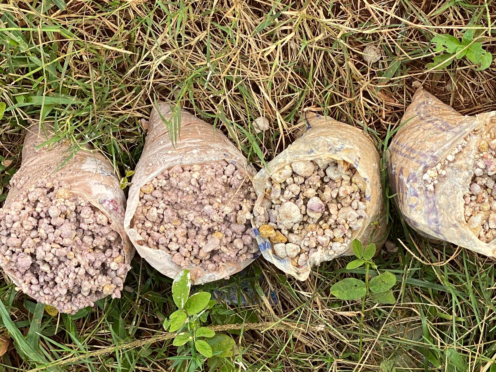
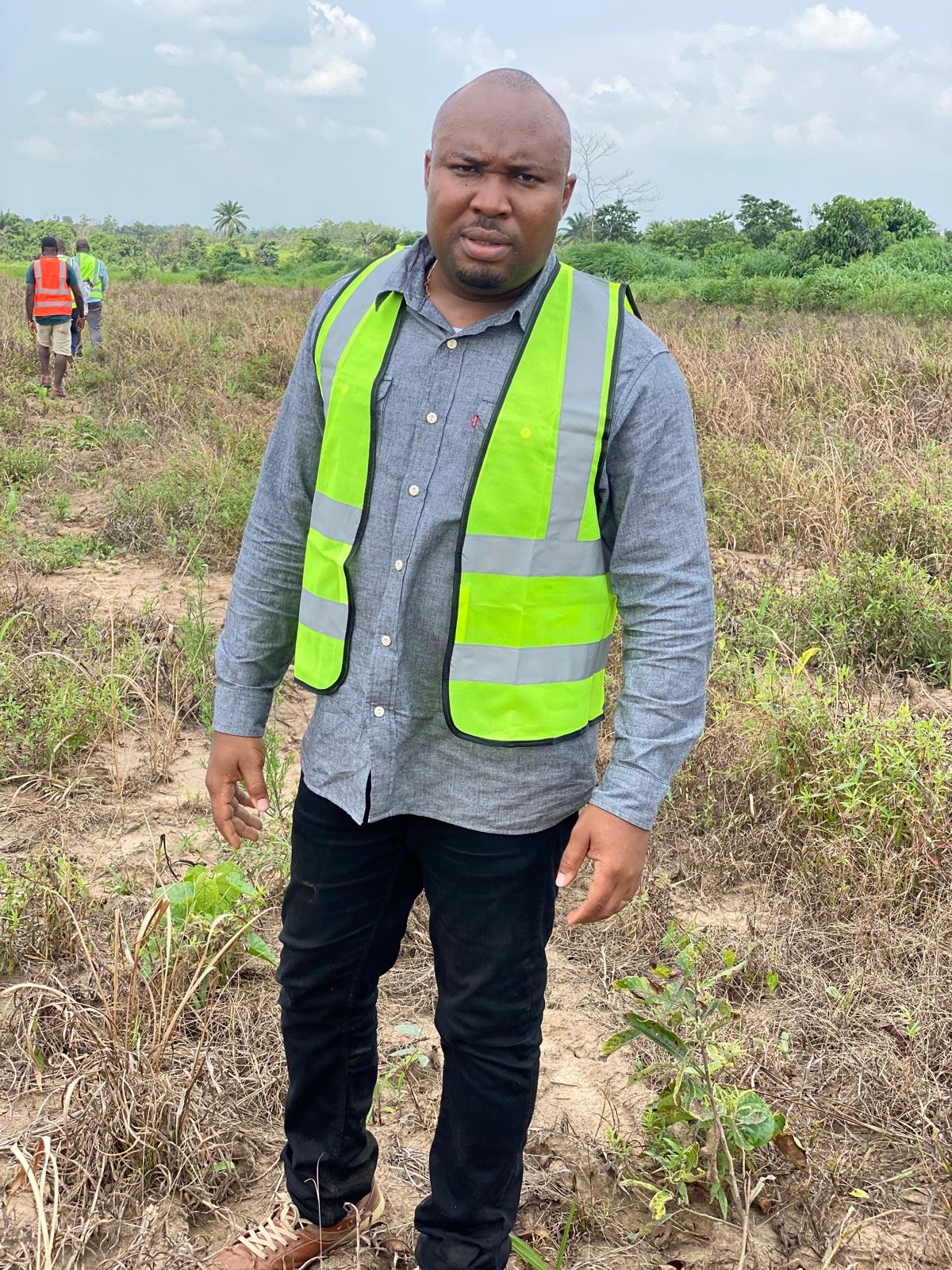
Mineral Exploration, Mining, and Monitoring
We identify, evaluate, and manage mineral resources using advanced surveying and analysis techniques. From exploration to sustainable mining operations, we ensure efficiency, safety, and compliance with environmental regulations.
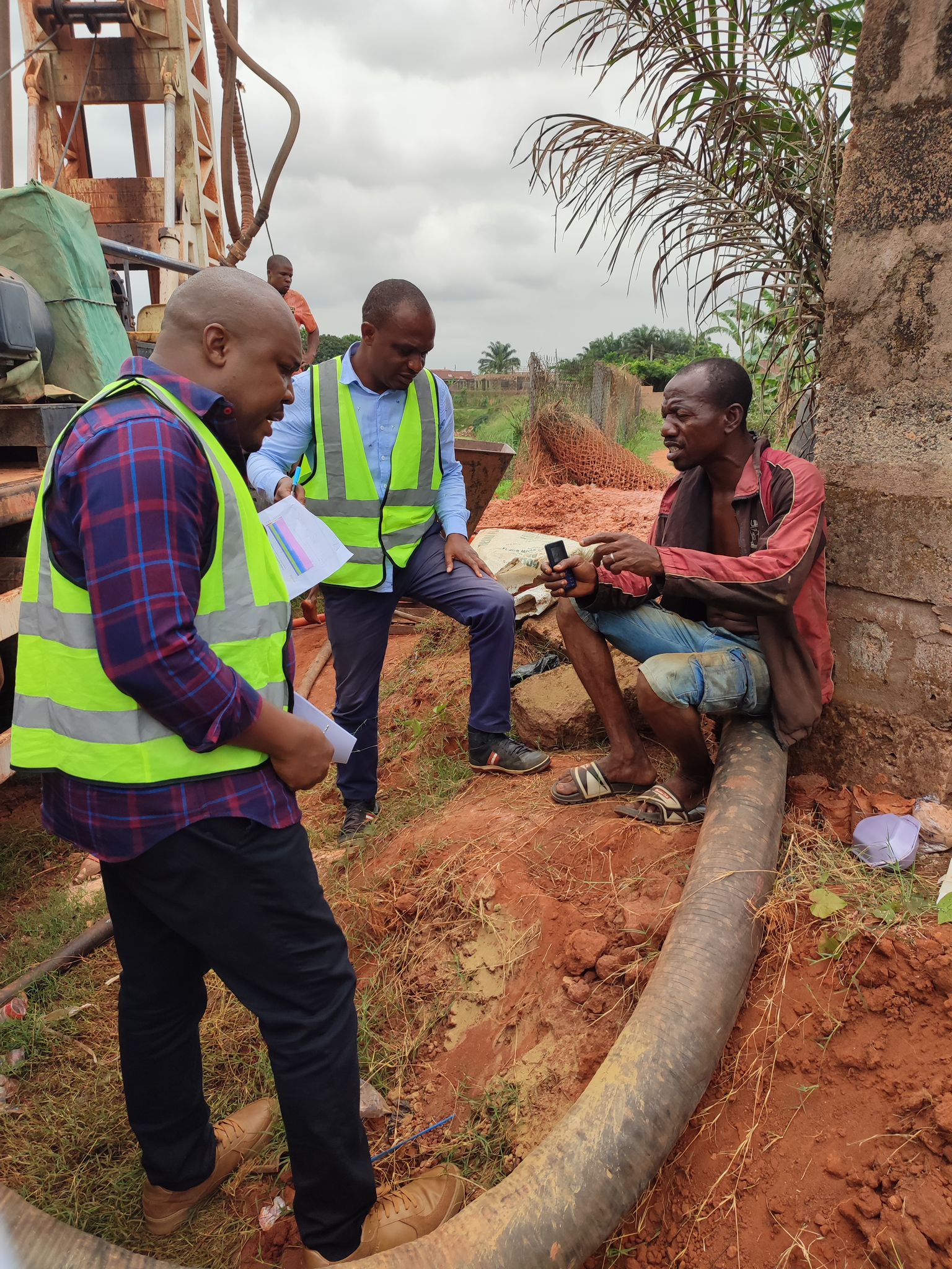
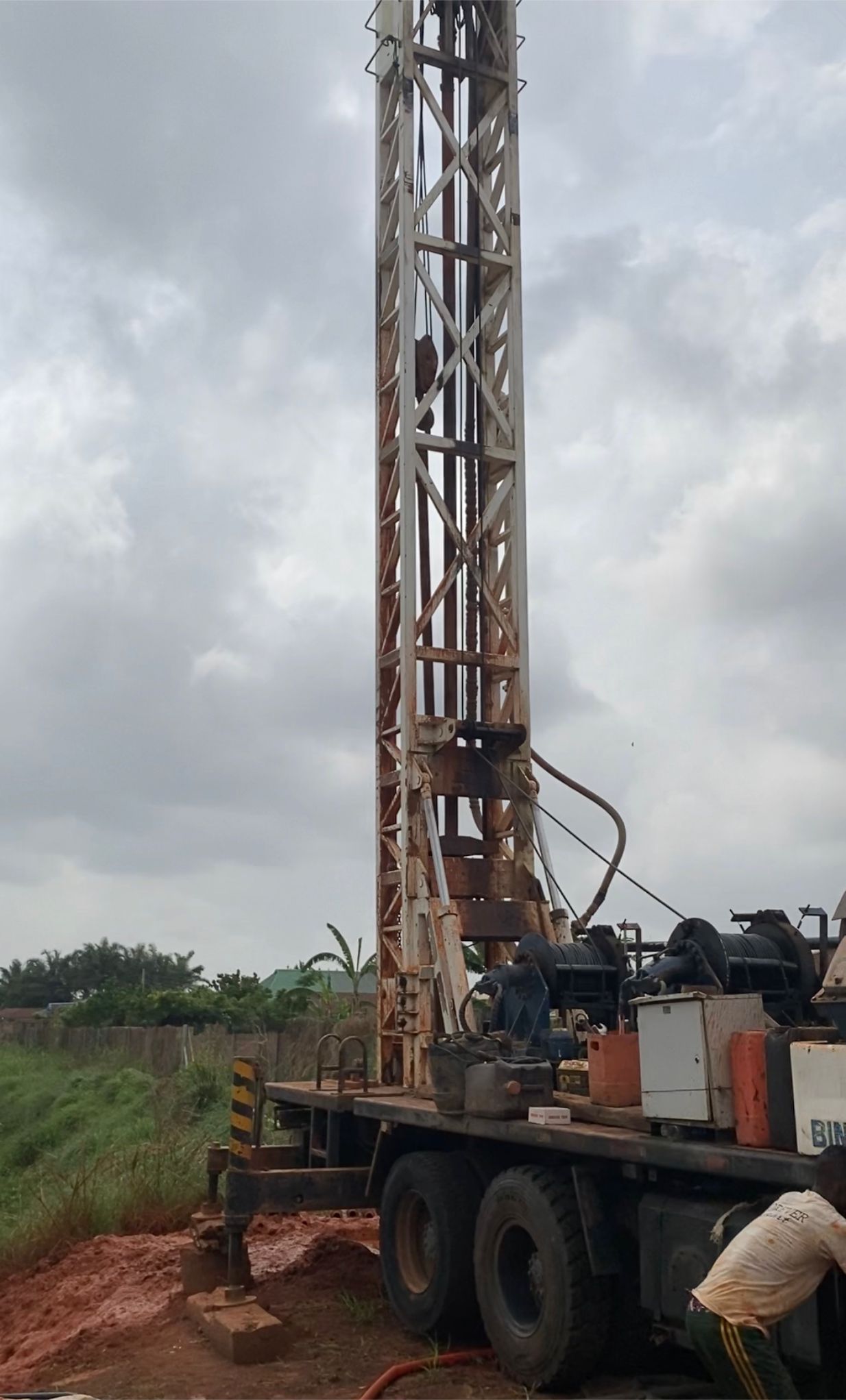
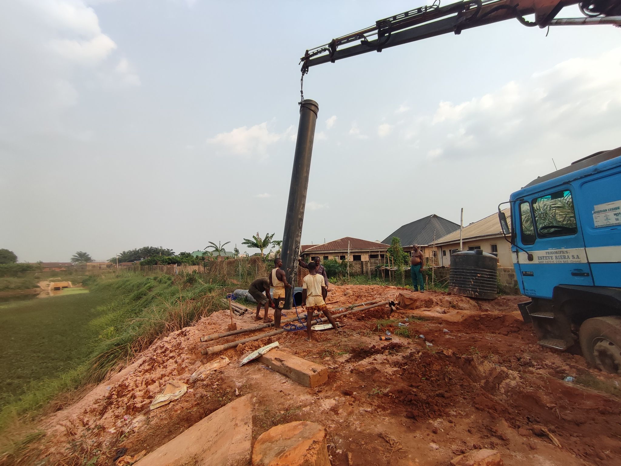
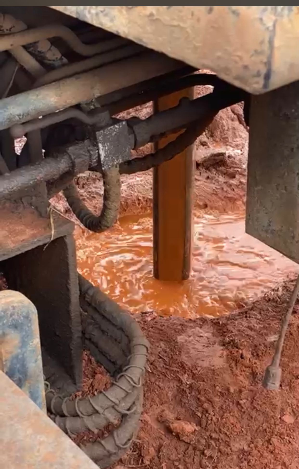
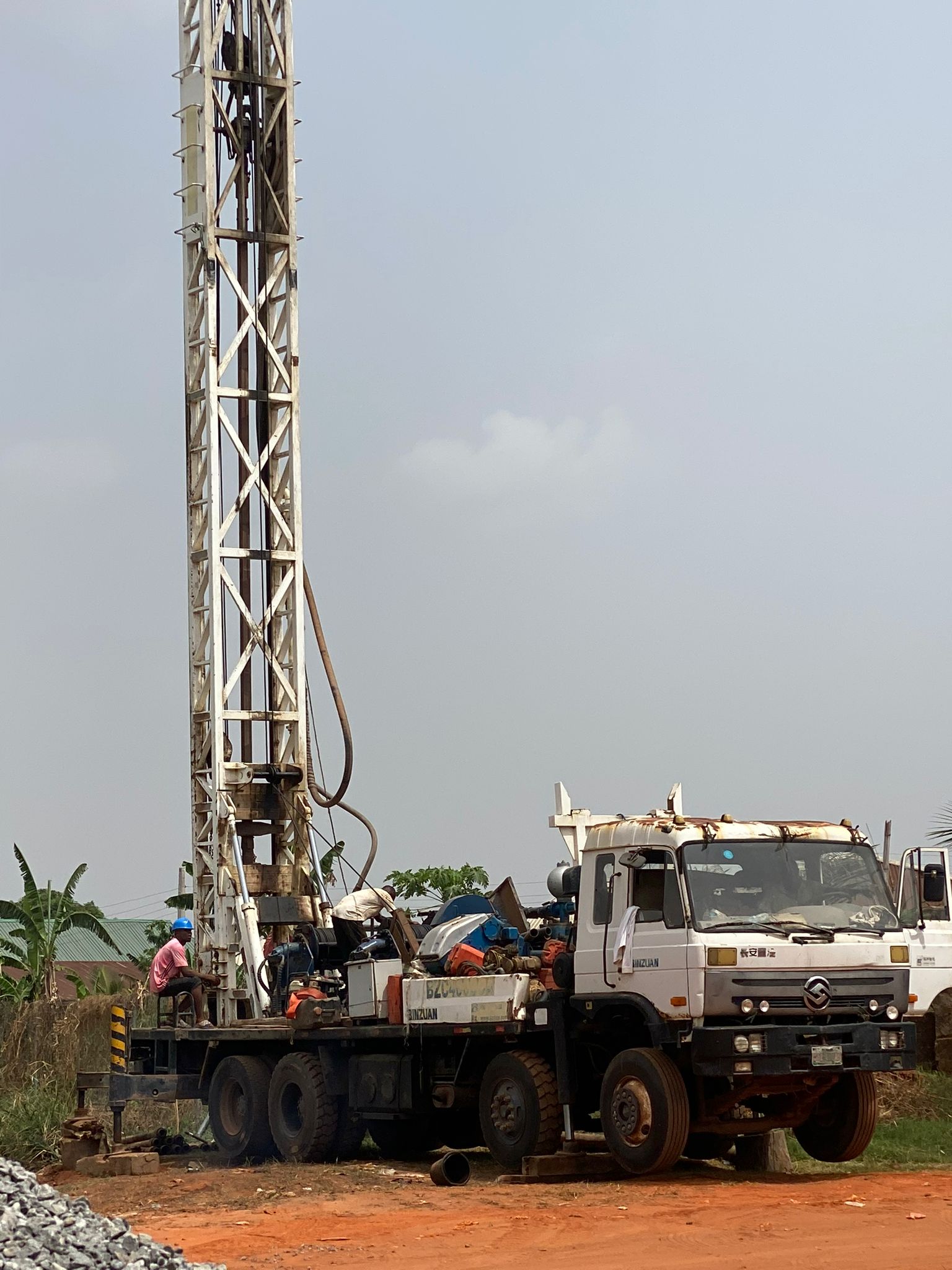
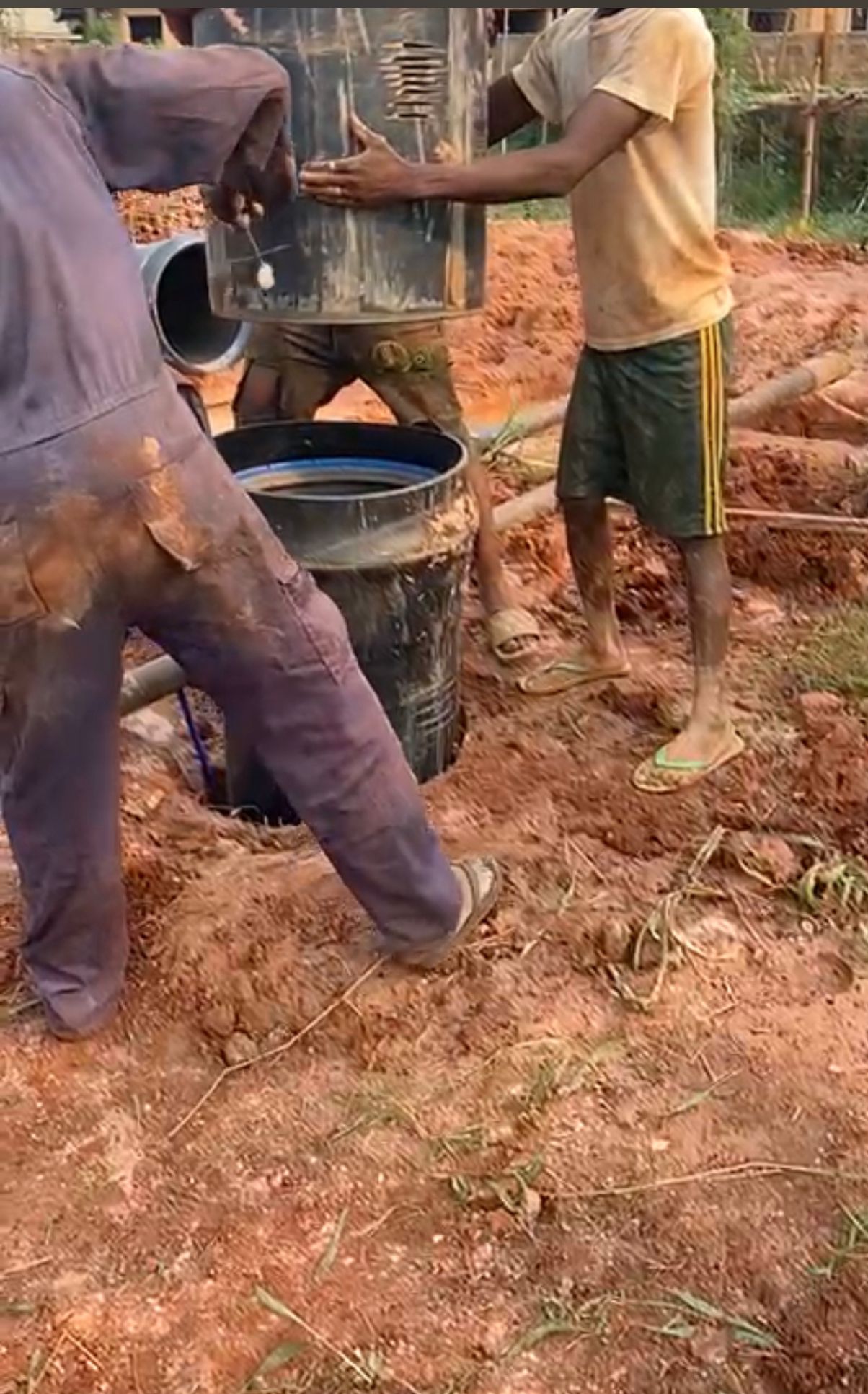
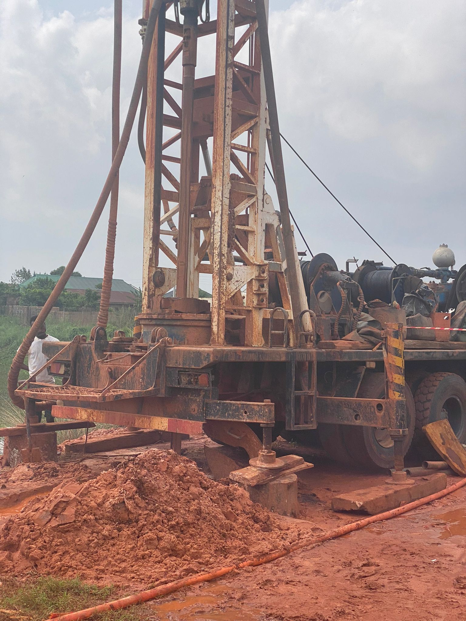
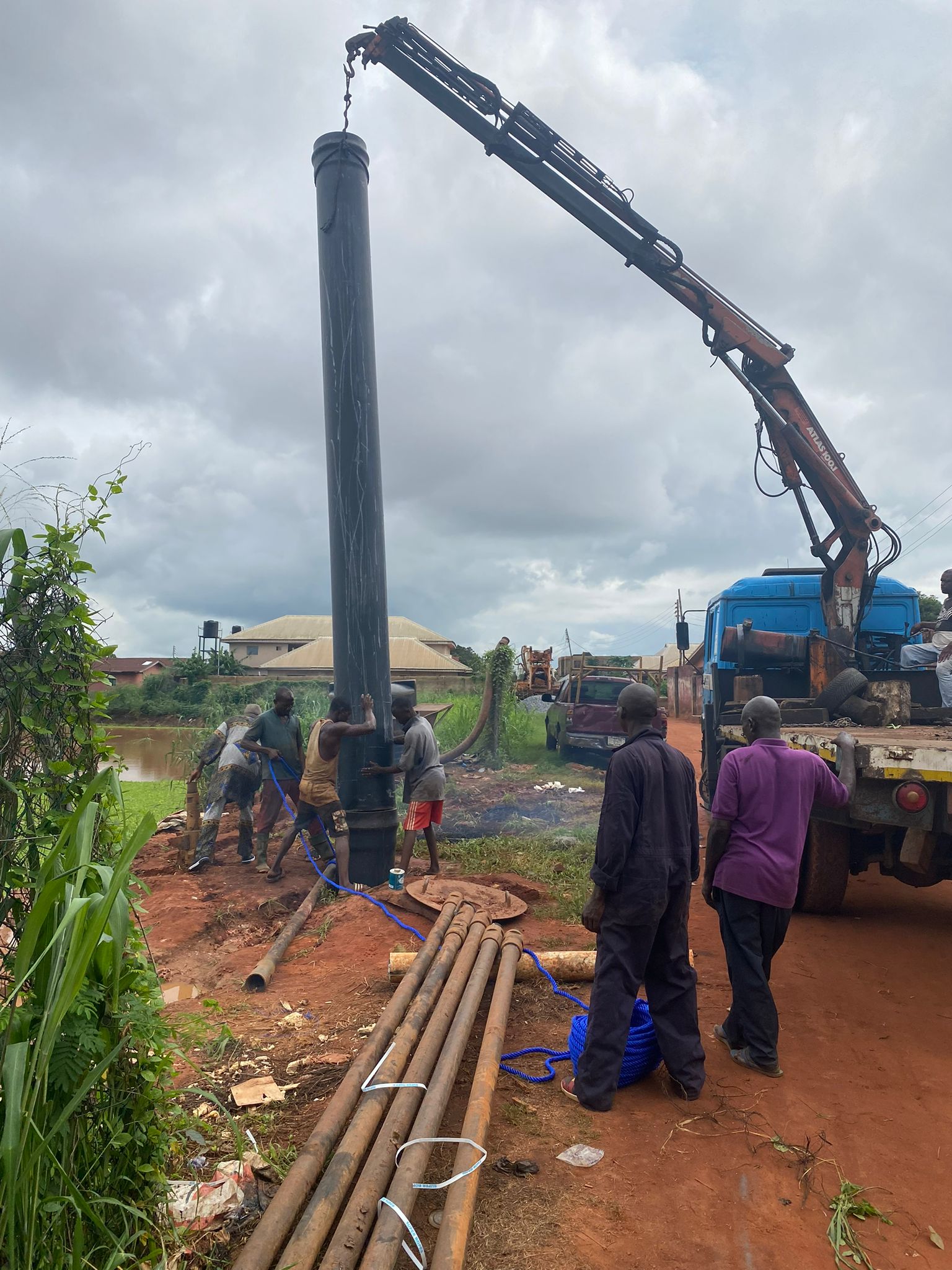
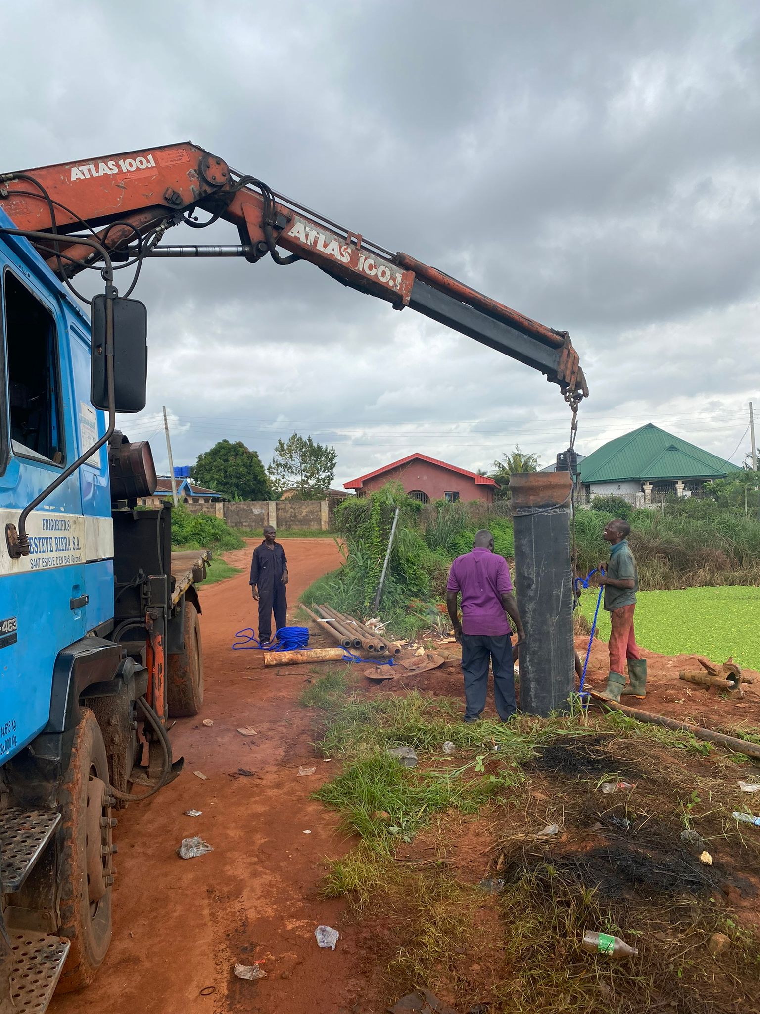
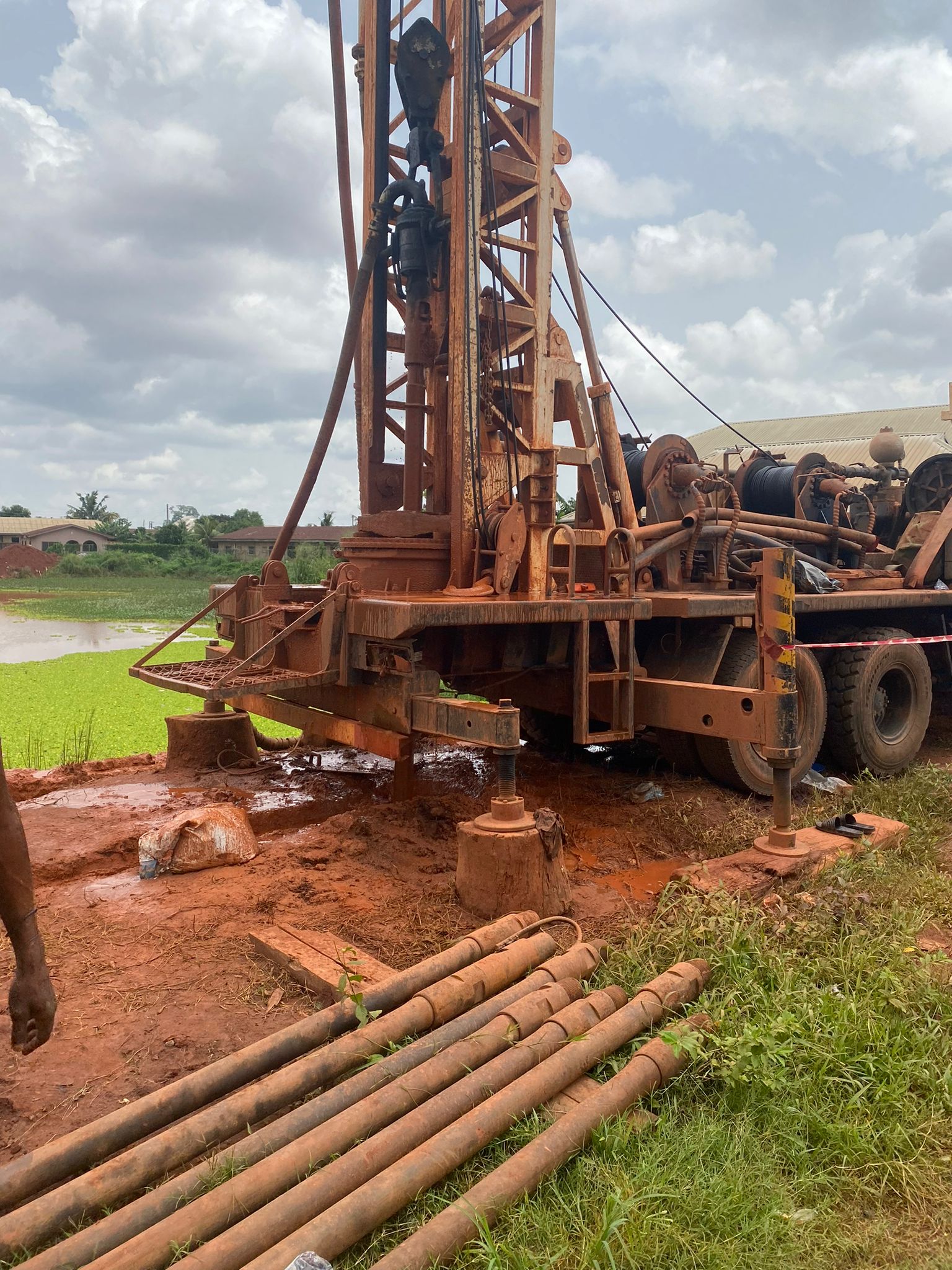
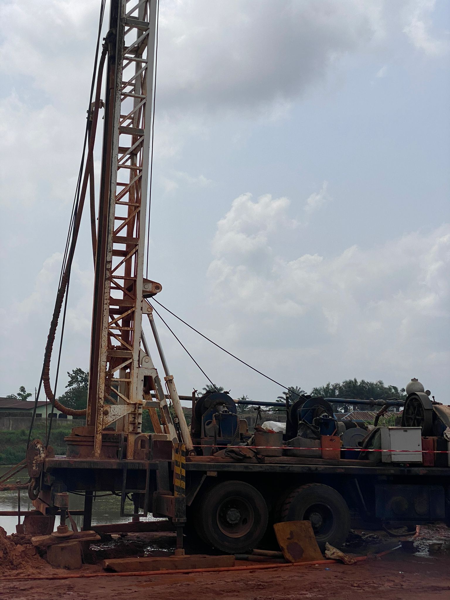
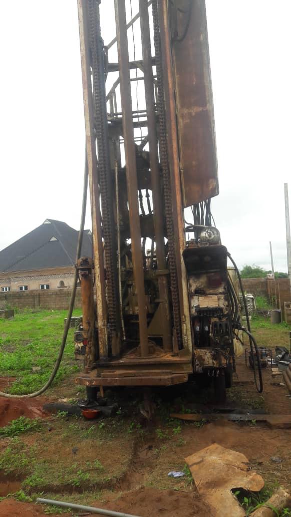
Borehole Drilling: Industrial, Domestic, Sinking Shafts, and Well Installation
Whether for factories, farms, or communities, we deliver high-yield, durable boreholes and wells. Our drilling services ensure consistent water supply with minimal environmental impact.
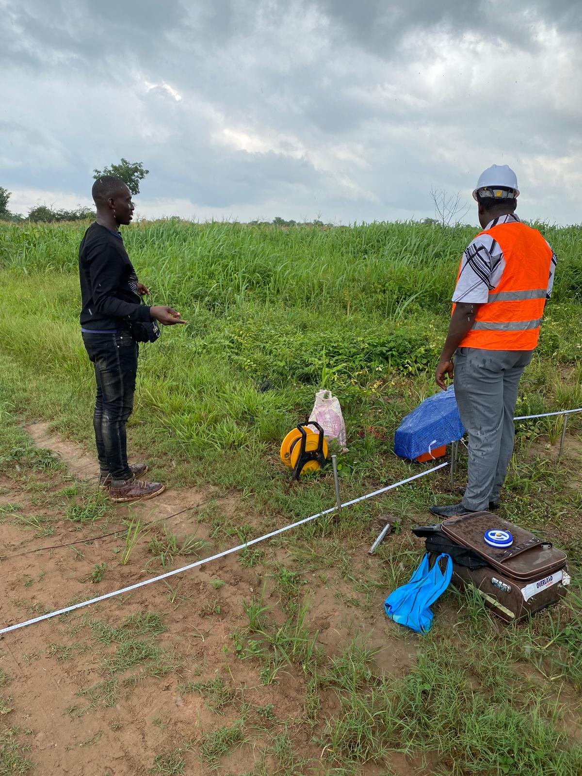
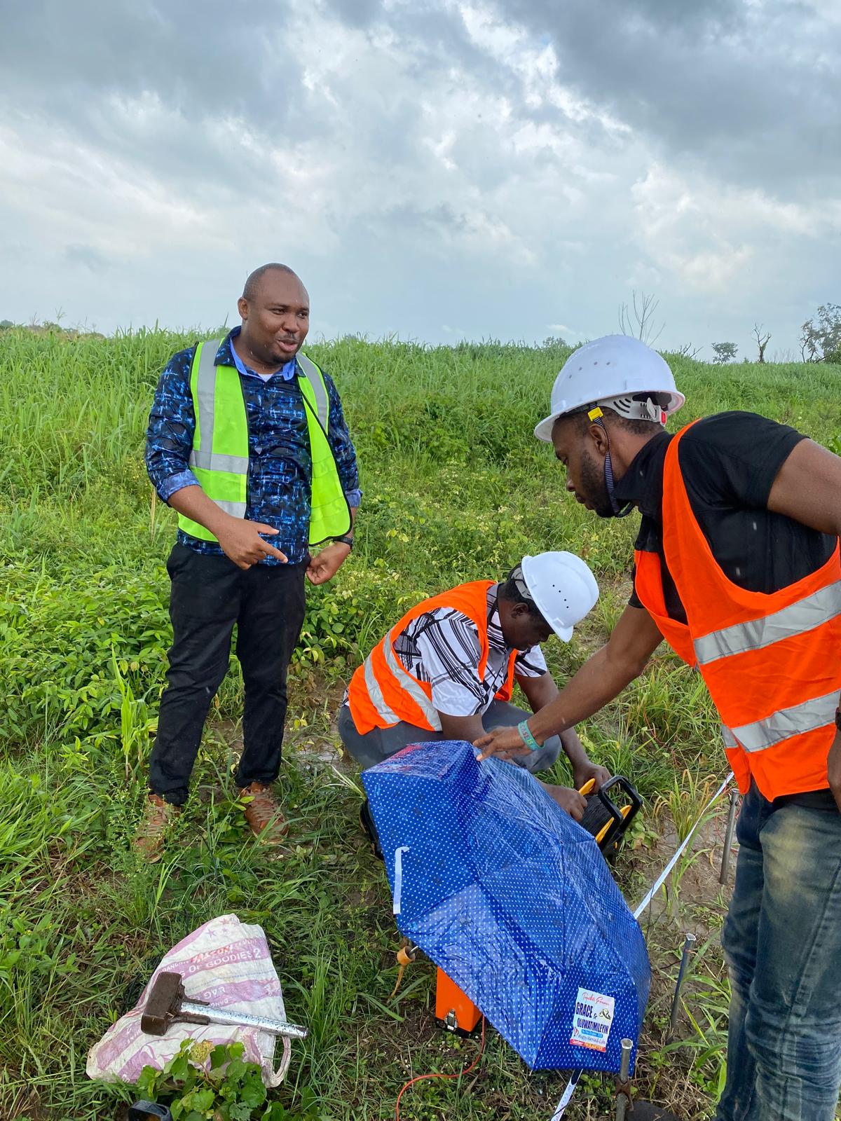
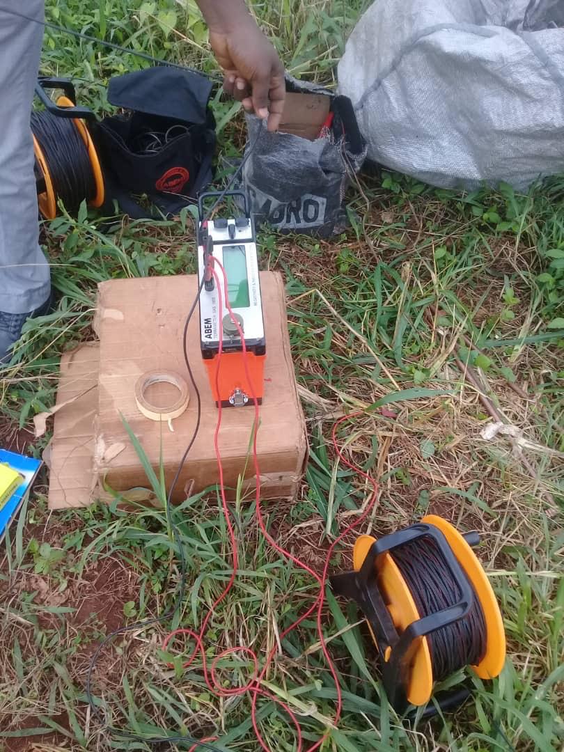
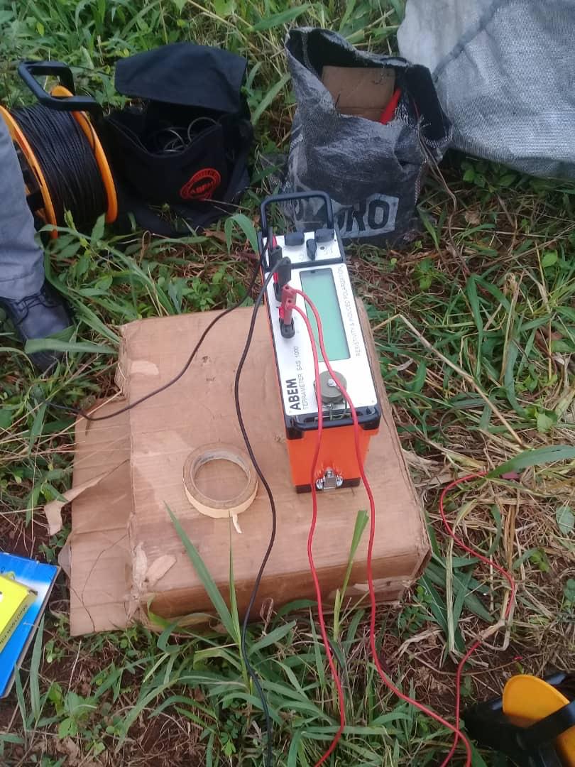
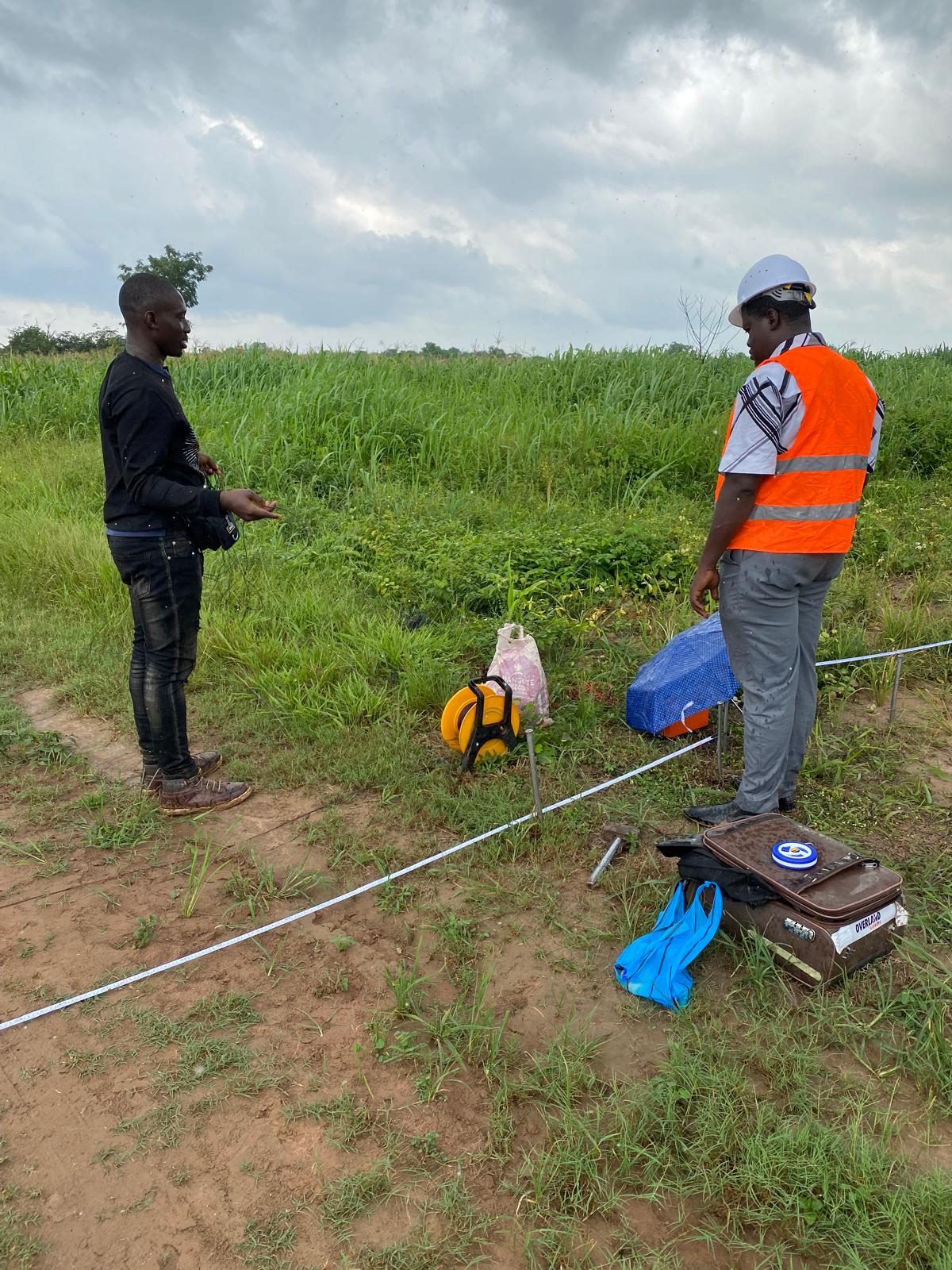
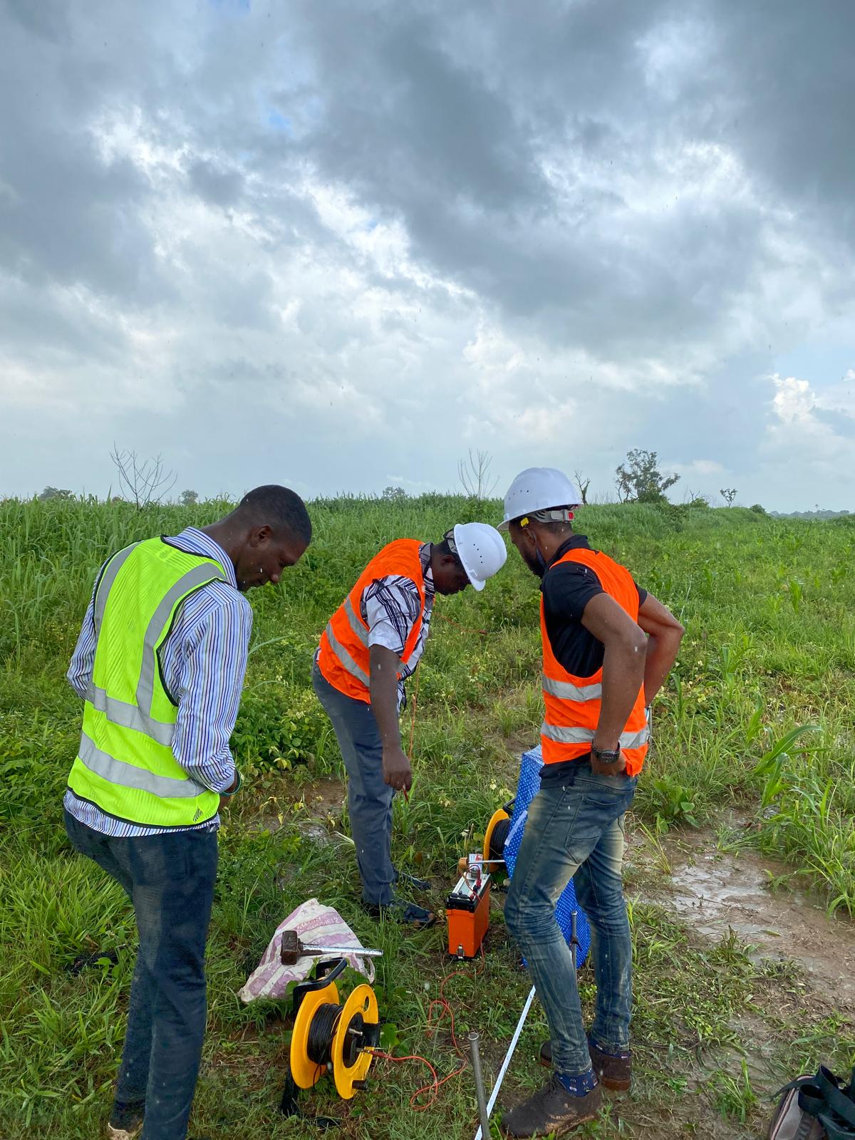
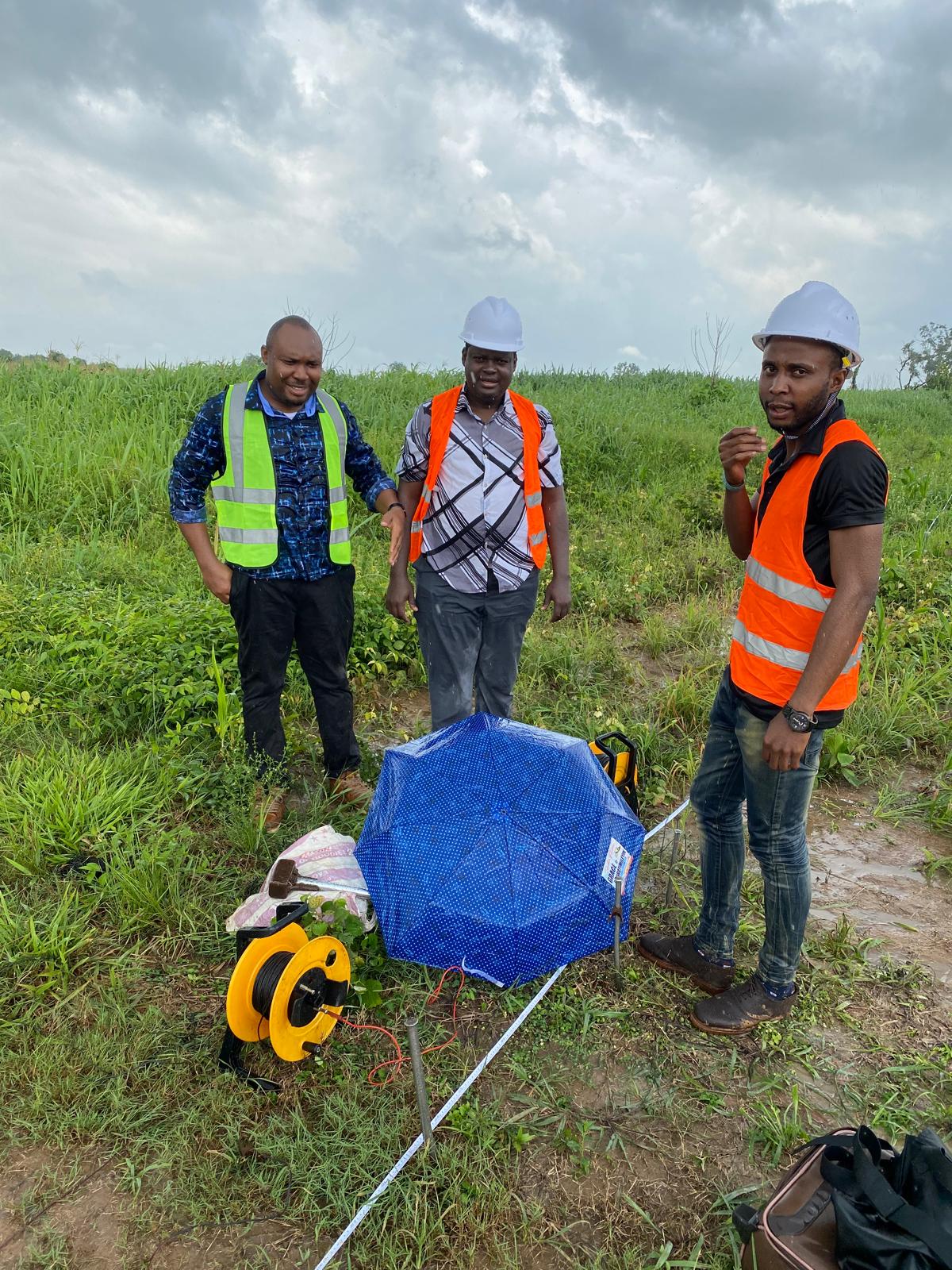
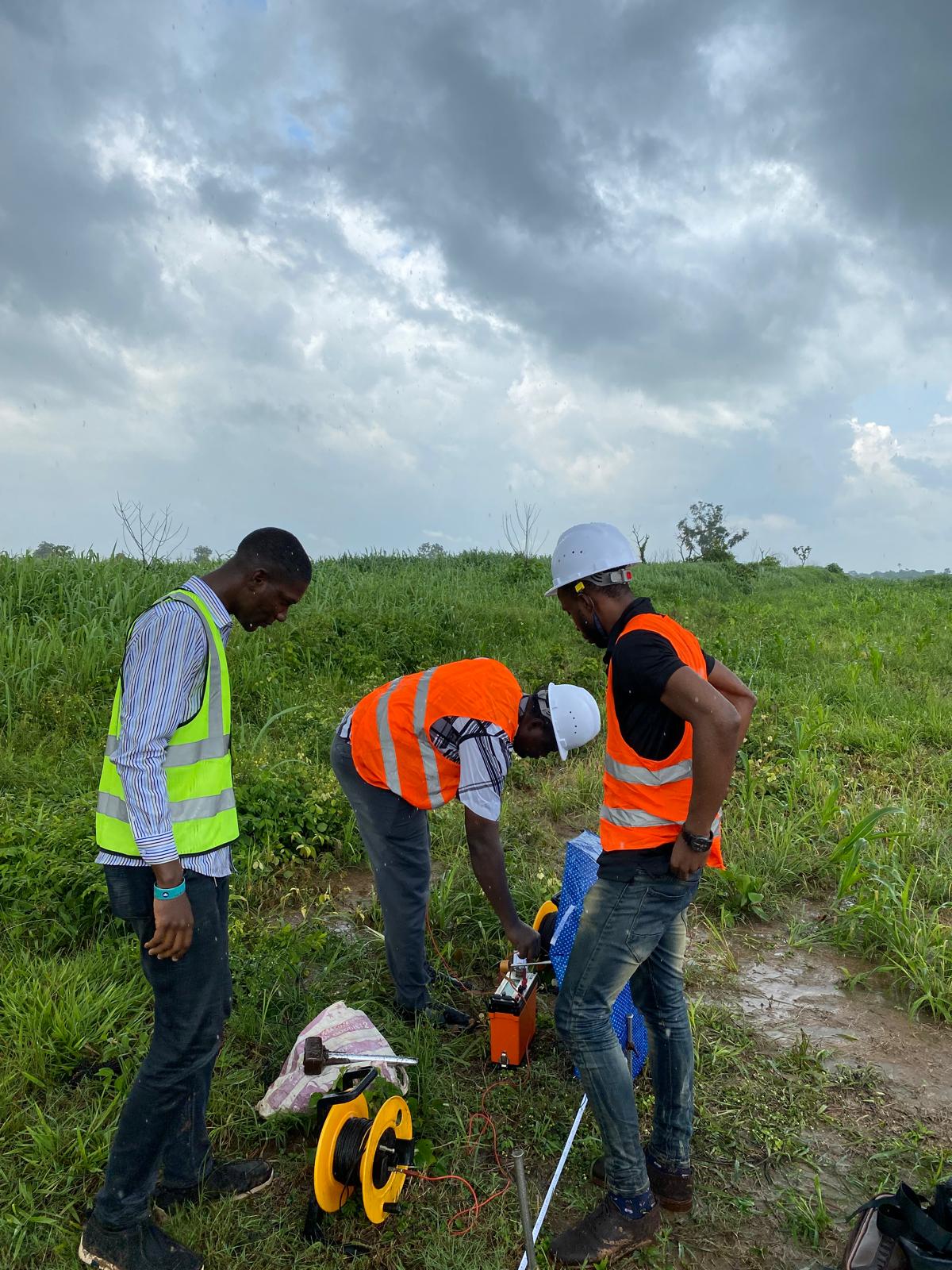
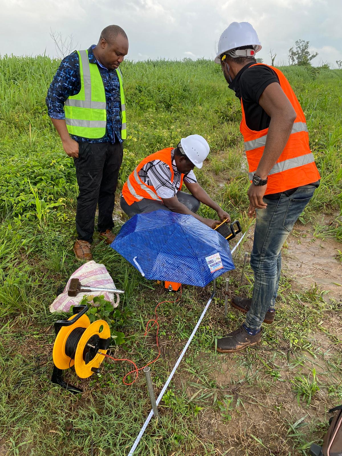
Geological & Geophysical Surveys, Field Mapping, and Data Analysis
We provide accurate mapping and subsurface imaging using advanced geophysical equipment, helping clients plan projects, mitigate risks, and make informed decisions.
GIS / Remote Sensing, Image Analysis, and 3D GIS Modeling
Our geospatial services deliver precision insights for planning, monitoring, and decision-making. We transform raw data into actionable intelligence for industries, urban development, and environmental management.
Environmental Impact Assessment & Pollution Monitoring
We assess environmental risks, monitor pollution levels, and design mitigation strategies that comply with national and international standards, protecting both people and ecosystems.
Groundwater Exploration, Site Mapping & Terrain Analysis
We locate and assess groundwater resources using scientific methods, ensuring reliable water sources for communities, industries, and agricultural projects.
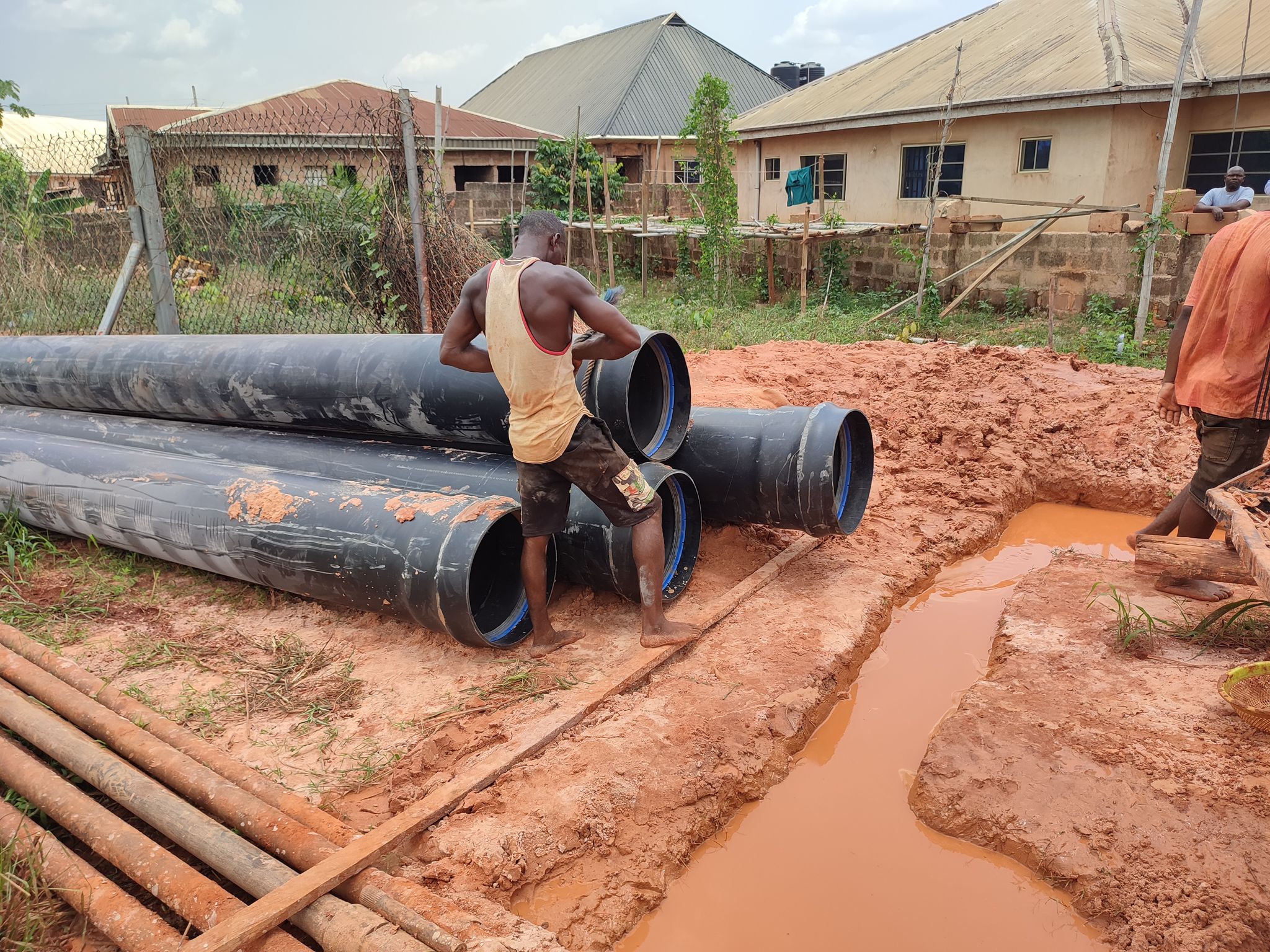
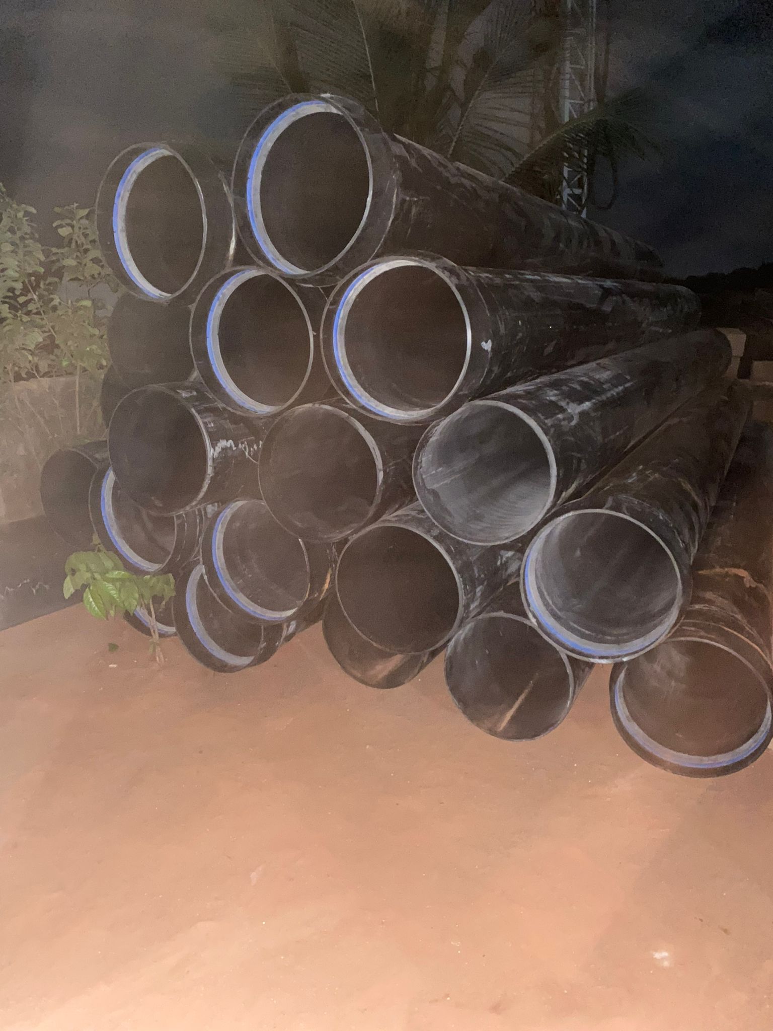
Pipeline Mapping & Monitoring
From oil and gas to water distribution, we map and monitor pipelines to ensure operational safety, reduce downtime, and detect issues before they escalate.
Defense Mapping & Mission Planning
We provide geospatial intelligence for defense and security operations, including terrain modeling, route planning, and resource mapping.
Training, Capacity Building & Consultancy
We offer specialized training programs and consultancy services, helping organizations build technical capacity in geology, geophysics, and environmental management.
Geospatial & Environmental Planning
Our services integrate geospatial data into environmental and urban planning, enabling sustainable and functional designs for projects.
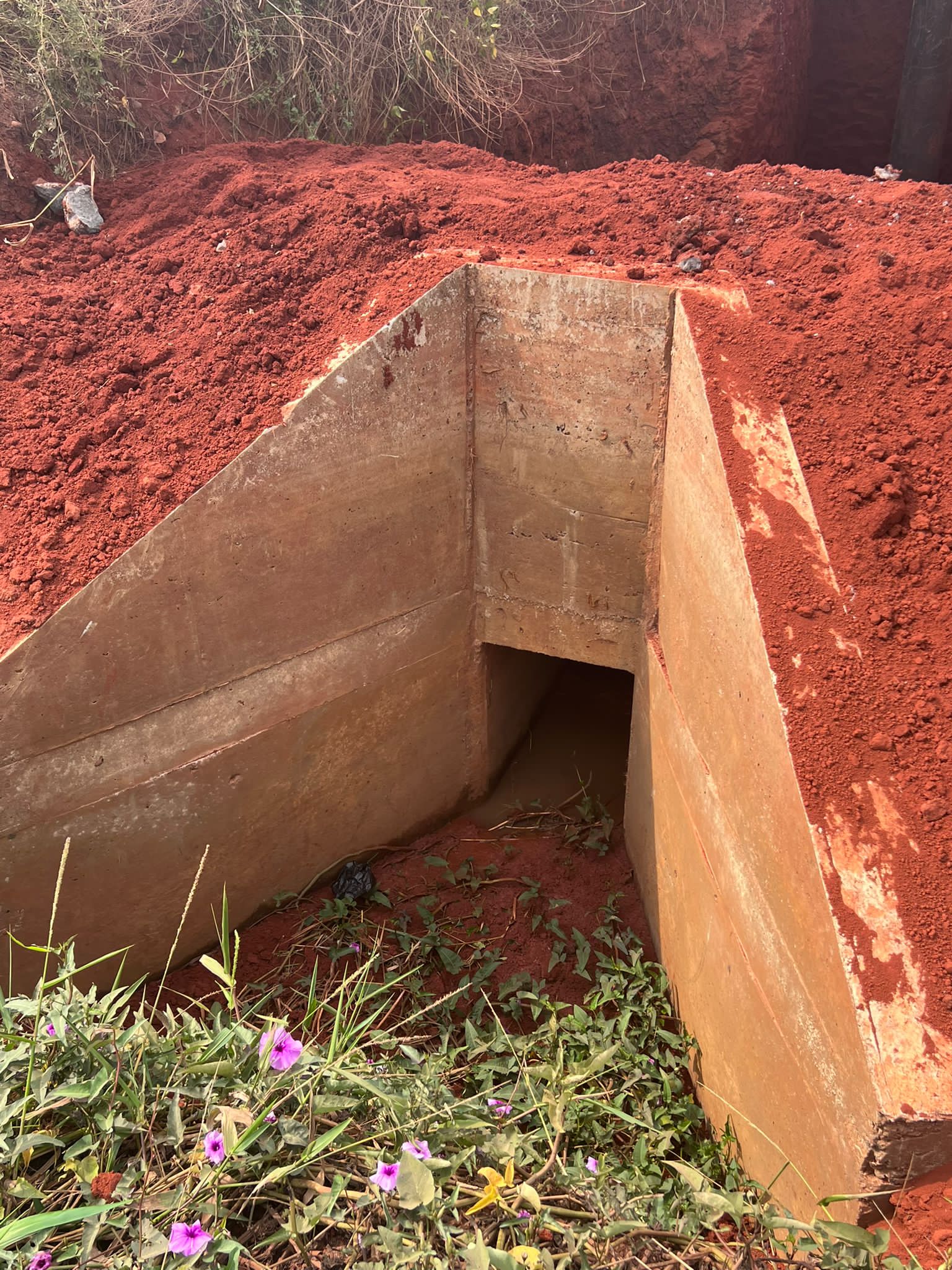
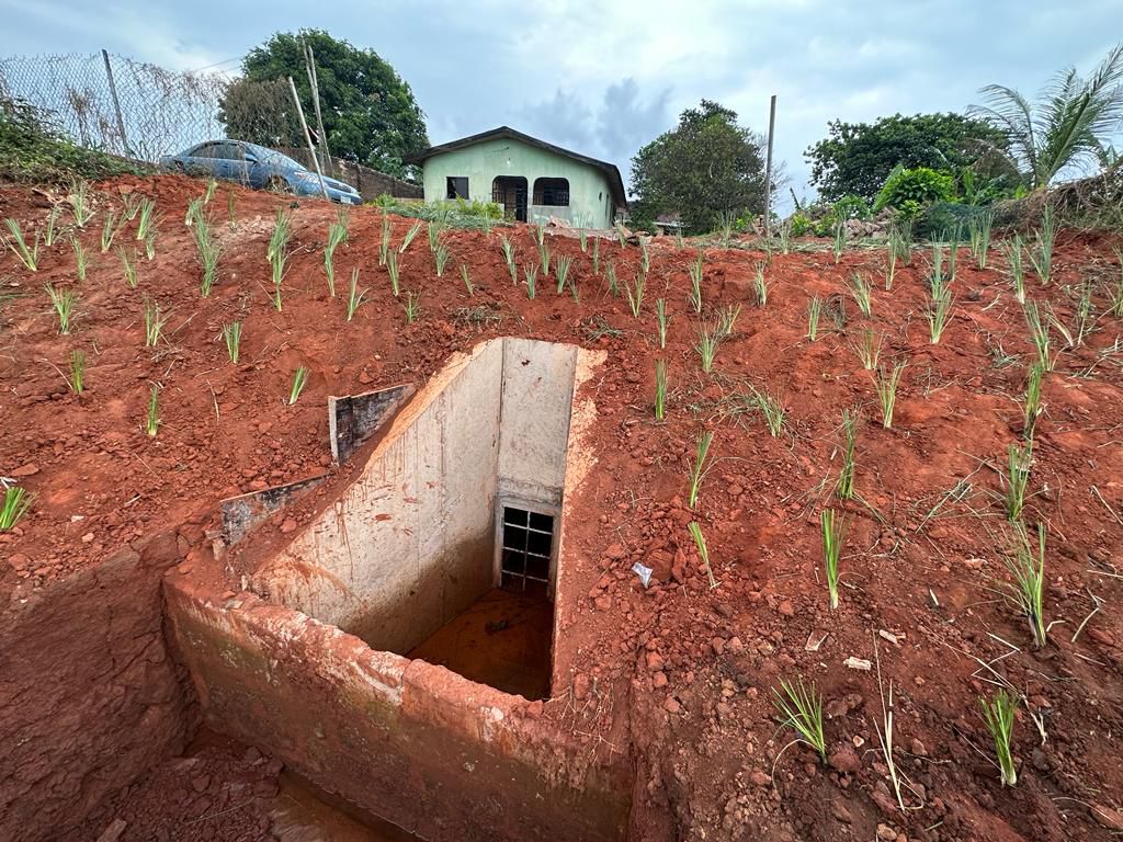
Flood Mitigation
At AE GEO, we provide science-driven flood mitigation solutions that protect communities and infrastructure from rising risks. Using geological assessment, stormwater recharge modelling, and nature-based approaches, we design systems that reduce flooding impacts while enhancing groundwater replenishment. Our work turns excess surface water into a resource, creating safer environments, supporting sustainable development and aligning with climate adaptation goals.
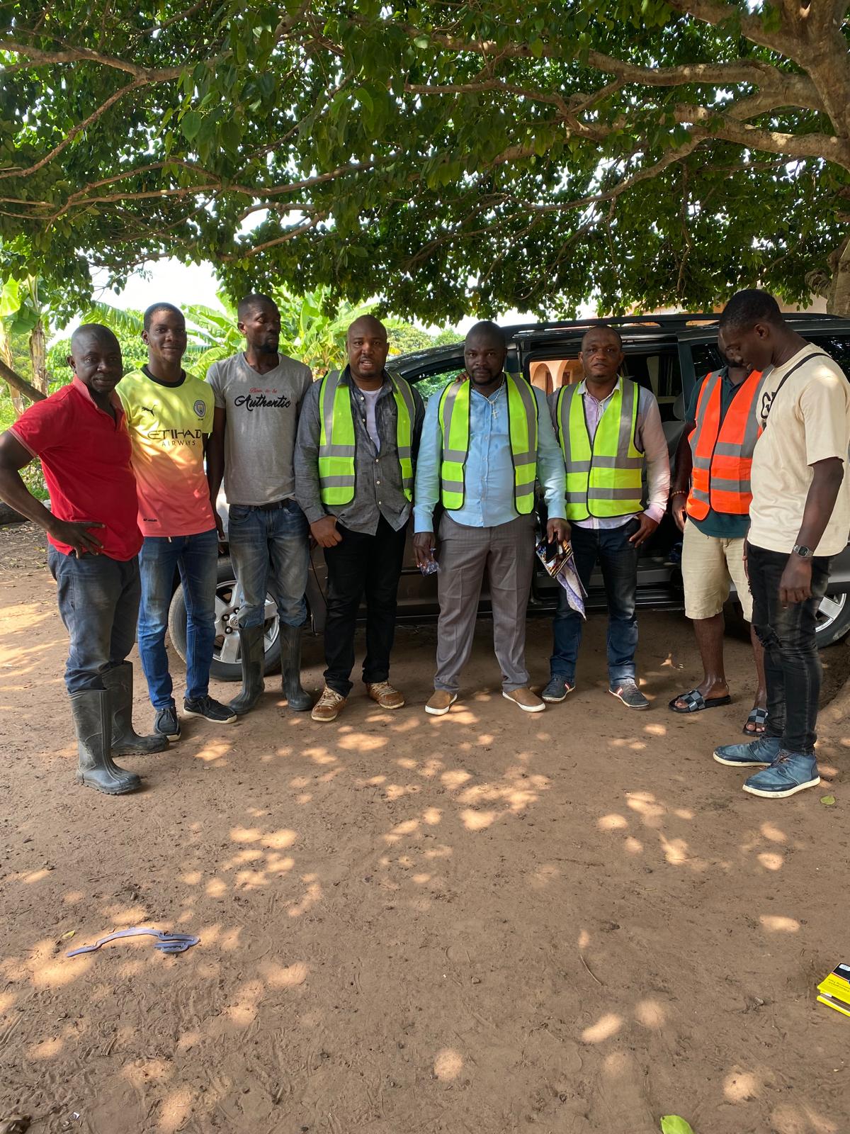
Why Choose AE Geo?
At AE Geo Integrated Services Ltd, we don’t just provide geological and environmental solutions—we set the standard for reliability and innovation in the industry. Our approach combines science, technology, and field expertise to deliver results that stand the test of time. Here’s why clients trust us as their first choice:
- Proven Expertise
- Certified & Recognized
- Cutting-Edge Tools
- End-to-End Solutions
- Community-Focused
- Global Vision